Introduction to Spatial Data Analysis and GIS in R

Price

Mode

Time

Date

12.99 €

Online

30 hours

Available Anytime

Introduction to the Course

Description

Welcome to the Spatial Data Analysis course in R!

This course is designed for beginners and intermediate-level individuals who want to learn everything necessary about spatial data analysis using the R programming language. We will focus on the most current packages and practices for working with real spatial data. In total, we will use 27 different R packages, making it an intense but very comprehensive course.

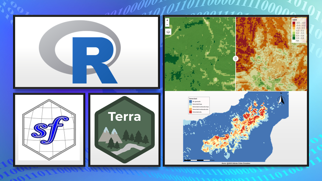
Here below is an example of what you will learn to create in this course:

Prerequisites

  • Basic knowledge of R

  • To be familiar with tidyverse functions, including basic graphics with ggplot2 and pipelines

Course Contents

Introduction to the course
  • Introduction to the course
  • Environment set-up
  • Course materials

Theory
  • Spatial data vs Non-spatial data
  • Geometries in vector data
  • Simple features
  • Common formats
  • QUIZ 1
Practice
  • Download spatial data
  • Exploratory data analysis
  • Import/Export spatial data
  • Properties of vector data
Challenge 01

Theory
  • Importance of CRS
  • CRS, coordinates, georeferencing
  • Geographic CRS vs Projected CRS
  • Projections
  • EPSG codes, proj4, WKT ...
  • QUIZ 2
Practice
  • Explore CRS
  • CRS transformation
  • Assigning CRS
  • On-the-fly transformations
  • First web map
Challenge 02

Theory
  • Spatial predicates
  • Geometry measures
  • Unary transformations
  • Binary transformations
  • Other operations
  • QUIZ 3
Practice
  • Predicate functions for counting elements
  • Spatial filters
  • Spatial joins
  • Spatial measurements
  • Transformations (centroid, buffer ...)
  • Download map of Spain from R
Challenge 03

Theory
  • Definition of raster data
  • Types of resolution
  • Introduction to remote sensing
  • Common operations
  • Calculation of vegetation indices (NDVI, SAVI)
  • QUIZ 4
Practice
  • Explore raster data
  • Download Digital Elevation Model (DEM)
  • Raster derivatives from DEM
  • Common operations (cutting, reclassifying ...)
  • Arithmetic operations with raster
  • Calculation of vegetation indices (NDVI, SAVI)
  • Generate RGB and false-color compositions
Challenge 04

Maps
  • Population of Spain by municipalities
  • Brown bear in Picos de Europa I
  • Brown bear in Picos de Europa II
  • Rivers of Galicia
  • Andean bear in Peru
  • Severity of fire in Tenerife (2023)

Web Maps
  • Population of Spain by municipalities
  • Brown bear in Picos de Europa
  • Rivers of Galicia
  • Andean bear in Peru
  • Severity of fire in Tenerife (synchronized)
  • Severity of fire in Tenerife (side by side)

What’s inside the course

  • 150 lessons

  • 13 hours of video

  • All the course materials

  • Theoretical classes, practical sessions, quizzes, and proposed exercises

  • Additional bibliography

  • Fast answer to any student’s question

Course Results

  • Analyzing vector data and raster data

  • Downloading spatial data in R

  • Common operations on vector data and raster data

  • Georeferencing data

  • CRS transformations

  • Creating stunning maps and web maps