Description
Welcome to the Spatial Data Analysis course in R!
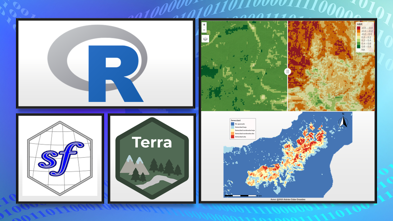
This course is designed for beginners and intermediate-level individuals who want to learn everything necessary about spatial data analysis using the R programming language. We will focus on the most current packages and practices for working with real spatial data. In total, we will use 27 different R packages, making it an intense but very comprehensive course.
Here below is an example of what you will learn to create in this course:
Prerequisites
Basic knowledge of R
To be familiar with tidyverse functions, including basic graphics with ggplot2 and pipelines
Course Contents
Theory
- Definition of raster data
- Types of resolution
- Introduction to remote sensing
- Common operations
- Calculation of vegetation indices (NDVI, SAVI)
- QUIZ 4
- Explore raster data
- Download Digital Elevation Model (DEM)
- Raster derivatives from DEM
- Common operations (cutting, reclassifying ...)
- Arithmetic operations with raster
- Calculation of vegetation indices (NDVI, SAVI)
- Generate RGB and false-color compositions